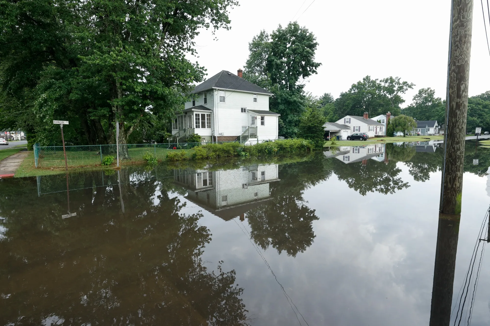
A flooded area after a thunderstorm in Connecticut in June, 2024.
Photographer: Lokman Vural Elibol/Getty Images
Many State Flood Maps Are Not Up to Date. Connecticut Is Trying to Fix That
A new tool offers the public detailed estimates of their flood exposure, but some worry risk disclosure will impact home values.
Connecticut is taking an unusual step to confront a growing national problem: flood maps that lag reality. The state has launched a public climate-risk mapping tool where residents can see the estimated flood exposure of their property — along with wildfire, wind and other climate risks. The tool, which is accessible through the insurance department’s website, is powered by the same type of private risk-modeling firm that insurers turn to for setting rates.
Severe flooding in western Connecticut in 2024, in which three people died and thousands of properties were destroyed or damaged, underscored for state officials just how wide the gap can be between mapped risk and lived experience.