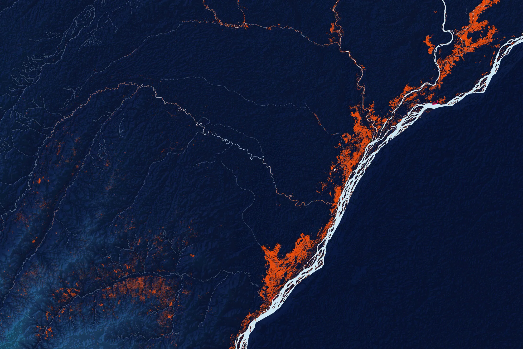
A map of flooding in Republic of Congo, powered by Google data.
Source: Cloud to StreetThe Big Take
Google Wants to Save the Planet With Satellite Images
The company’s little-known Earth Engine is helping nonprofits and researchers manage deforestation, floods, and droughts.

In the Ferlo region of Senegal, climate change is making it harder for herders to find water for their cattle. In the Peruvian Amazon, indigenous tribes must remain alert at all times to chase off illegal loggers. In Los Angeles, city planners are struggling to figure out how best to plant 90,000 trees to help cool the hottest neighborhoods. To solve these problems, all three groups rely on a little-known arm of Google that works closely with environmental advocates around the world.